The active transportation plan for the Greater birmingham region
The B-Active Plan is the Active Transportation Plan for the Greater Birmingham region. The purpose of the plan is to establish a clear vision for building and expanding a multimodal transportation network in Jefferson and Shelby Counties and parts of Blount and St. Clair Counties with a specific focus on creating a cohesive system of bicycle and pedestrian infrastructure. This website is your resource to interact with and explore the B-Active Plan. The plan was adopted by the Birmingham Metropolitan Planning Organization in March of 2019.
About the planWhat is the B-Active Plan? Click above to learn about the plan, its purpose, and what it seeks to achieve for the Birmingham region. |
view the planClick above to view the full B-Active Plan, supporting appendices, executive summary, and the annual state of the network report. |
interactive mapClick above to explore our easy to use interactive maps to see where active transportation facilities exist today and where the B-Active Plan proposes them. |
Explore the plan
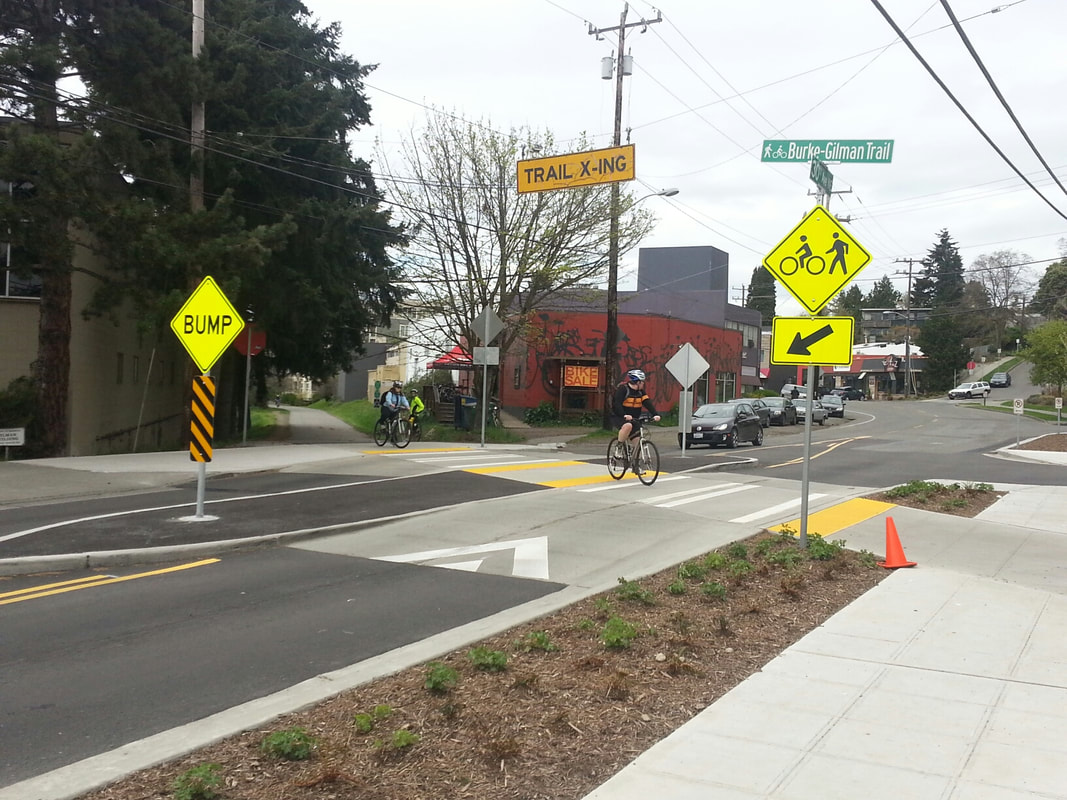
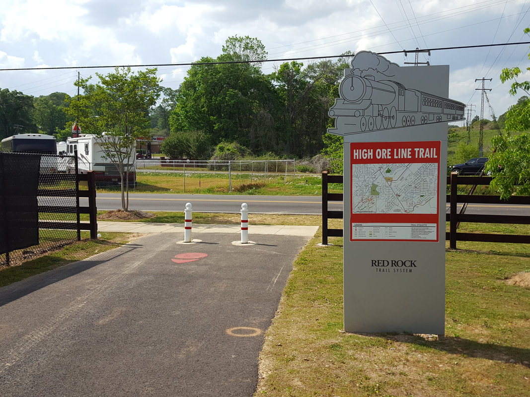
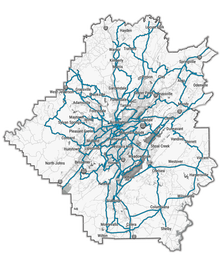
The map below is an easy to use resource for you to browse the B-Active Plan as well as to explore existing bike facilities that are on the ground today. Use it to plan our route and to see the potential of the B-Active Network! Expand the map to full screen by clicking the square icon in the upper right of the map to toggle on different layers and explore the map in detail.
The B-Active Plan is an initiative of the Regional Planning Commission of Greater Birmingham (RPCGB), to learn more about the RPCGB visit our website at www.RPCGB.org